|
|
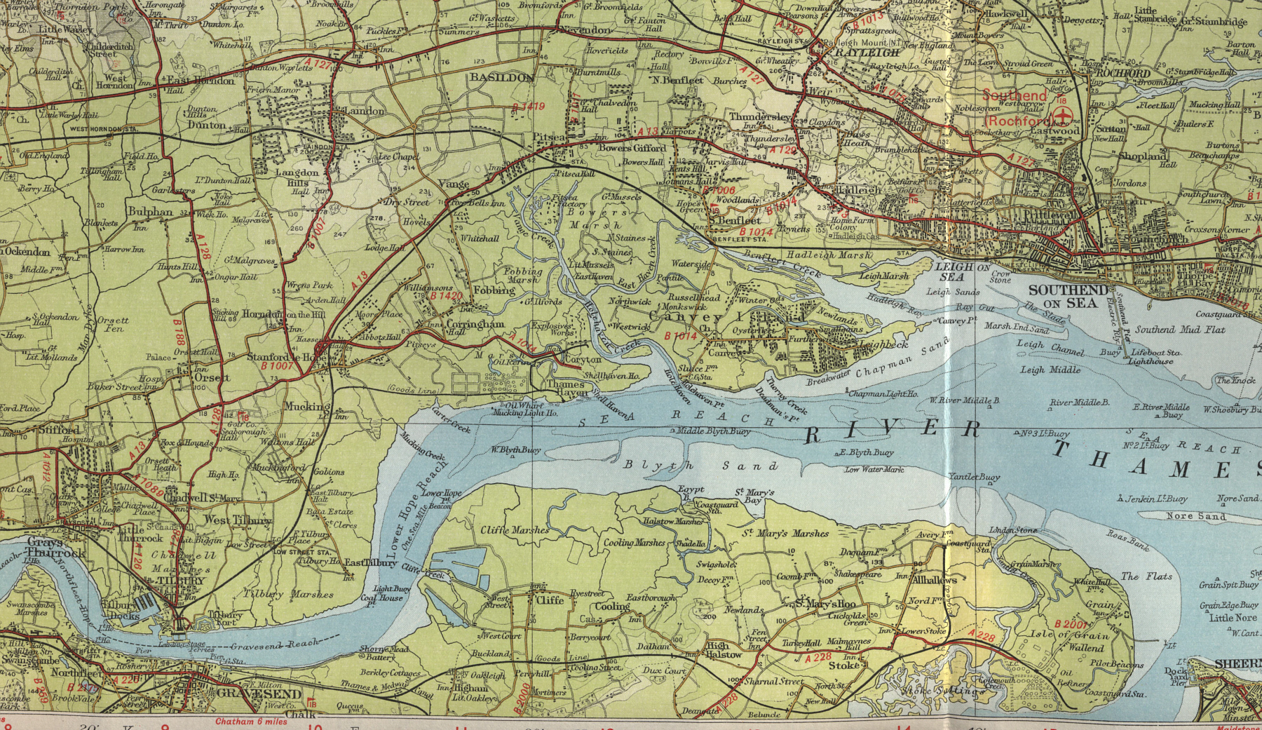
Thames Estuary Map
Map of the
Thames Estuary coast, south east England, derived from the
Bartholomew Half Inch map series of Great Britain
Map of the Thames Estuary Coastline
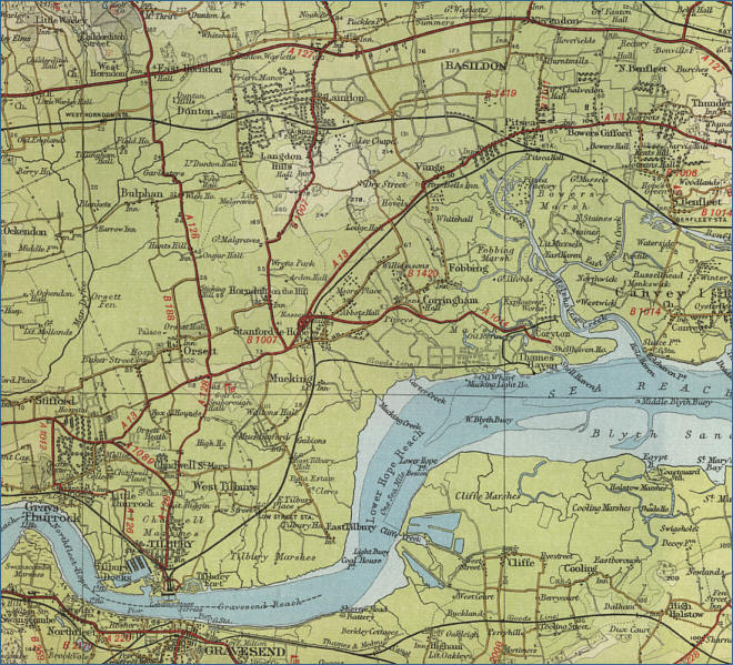
Click on the map below
to view a
large scale map
of the coastline of the Thames Estuary, Gravesend and
Tilbury
The maps on this website have been reproduced
with the permission of Collins Bartholomew
|
|
|
|
|
|
LONDON MAPS
view detailed street maps of twentieth
century London |
|
|
|
|
|